Tập tin:Cork City Hall - Anglesea Street - geograph.org.uk - 1405948.jpg
Không có độ phân giải cao hơn.
Cork_City_Hall_-_Anglesea_Street_-_geograph.org.uk_-_1405948.jpg (640×480 điểm ảnh, kích thước tập tin: 219 kB, kiểu MIME: image/jpeg)
Tập tin này từ Wikimedia Commons. Trang miêu tả nó ở đấy được sao chép dưới đây. Commons là kho lưu trữ tập tin phương tiện có giấy phép tự do. Bạn có thể tham gia. |
Miêu tả
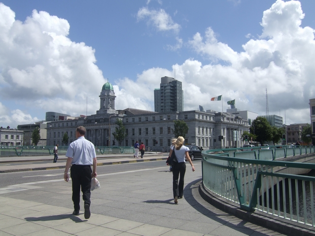
| Miêu tả | English: Cork City Hall - Anglesea Street |
| Ngày | |
| Nguồn gốc | From geograph.org.uk |
| Tác giả | John M |
| Ghi công (required by the license) | John M / Cork City Hall - Anglesea Street / |
| Vị trí máy chụp hình | | Xem hình này và các hình ảnh lân cận trên: OpenStreetMap |
|---|
_heading:135.00&language=vi)
| Vị trí đối tượng | | Xem hình này và các hình ảnh lân cận trên: OpenStreetMap |
|---|
_heading:135.00&language=vi)
Giấy phép
 | This image was taken from the Geograph project collection. See this photograph's page on the Geograph website for the photographer's contact details. The copyright on this image is owned by John M and is licensed for reuse under the Creative Commons Attribution-ShareAlike 2.0 license. |
Tập tin này được phát hành theo Giấy phép Creative Commons Ghi công–Chia sẻ tương tự 2.0 Chung
Ghi công: John M
- Bạn được phép:
- chia sẻ – sao chép, phân phối và chuyển giao tác phẩm
- pha trộn – để chuyển thể tác phẩm
- Theo các điều kiện sau:
- ghi công – Bạn phải ghi lại tác giả và nguồn, liên kết đến giấy phép, và các thay đổi đã được thực hiện, nếu có. Bạn có thể làm các điều trên bằng bất kỳ cách hợp lý nào, miễn sao không ám chỉ rằng người cho giấy phép ủng hộ bạn hay việc sử dụng của bạn.
- chia sẻ tương tự – Nếu bạn biến tấu, biến đổi, hoặc làm tác phẩm khác dựa trên tác phẩm này, bạn chỉ được phép phân phối tác phẩm mới theo giấy phép y hệt hoặc tương thích với tác phẩm gốc.
Lịch sử tập tin
Nhấn vào ngày/giờ để xem nội dung tập tin tại thời điểm đó.
| Ngày/giờ | Hình xem trước | Kích cỡ | Thành viên | Miêu tả | |
|---|---|---|---|---|---|
| hiện tại | 12:02, ngày 1 tháng 3 năm 2011 | | 640×480 (219 kB) | GeographBot | == {{int:filedesc}} == {{Information |description={{en|1=Cork City Hall - Anglesea Street}} |date=2009-07-03 |source=From [http://www.geograph.org.uk/photo/1405948 geograph.org.uk] |author=[http://www.geograph.org.uk/profile/7388 John M] |permission= |oth |
Trang sử dụng tập tin
Có 1 trang tại Wikipedia tiếng Việt có liên kết đến tập tin (không hiển thị trang ở các dự án khác):
Sử dụng tập tin toàn cục
Những wiki sau đang sử dụng tập tin này:
- Trang sử dụng tại de.wikipedia.org
- Trang sử dụng tại en.wikipedia.org
- Trang sử dụng tại incubator.wikimedia.org
- Trang sử dụng tại it.wikipedia.org
- Trang sử dụng tại lt.wikipedia.org
- Trang sử dụng tại lv.wikipedia.org
- Trang sử dụng tại ro.wikipedia.org
- Trang sử dụng tại sl.wikipedia.org
- Trang sử dụng tại ta.wikipedia.org
- Trang sử dụng tại ur.wikipedia.org
- Trang sử dụng tại zh.wikipedia.org